Hiking Mount Barney with the New Garmin Montana 750i
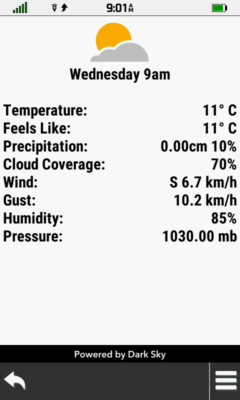
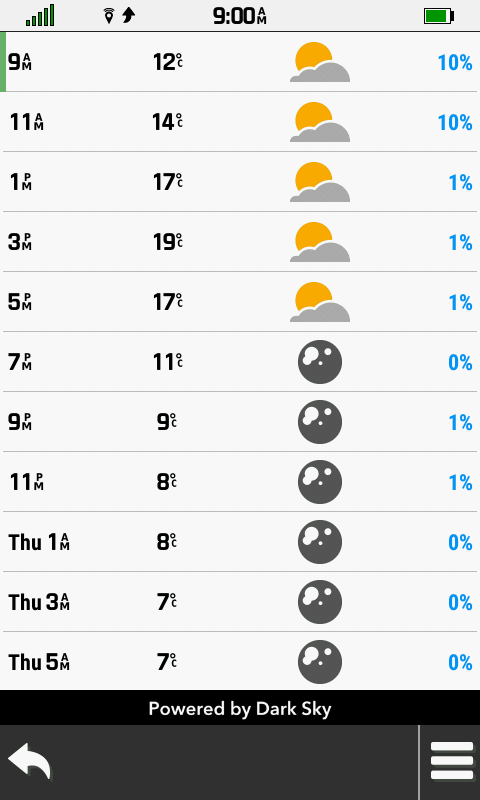
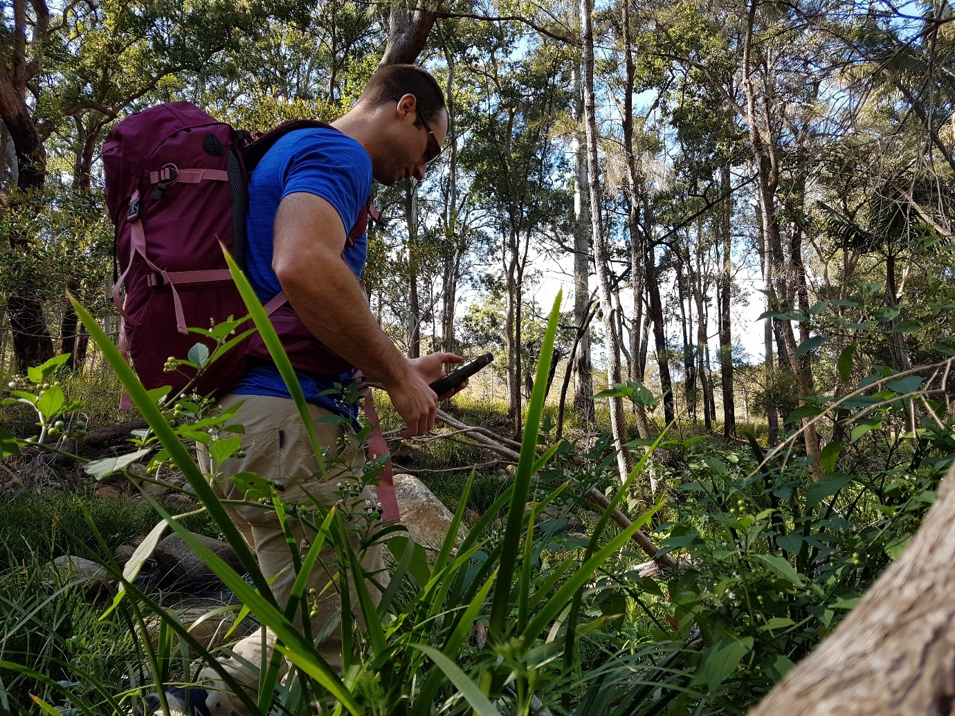
I recently had a chance to go for a hike with Garmin’s new Montana 750i. This unit replaces the ageing Montana 680t as Garmin’s all-purpose GPS unit. It’s at home on a boat, on or off-road motorbike/car or as a handheld. I would have used it to navigate my drive to the carpark, but the car mounts are still to be released. My first impressions of the GPS is that there is no getting around the fact it is big. It takes up the whole hand, and as I had chosen a rather challenging mountain to hike up with some rock scrambling I had to stash it in my backpack for the more technical sections. The upside of this is the glorious screen, making it easy to see map detail, plan and adjust on the fly as your trip progresses. I could still use it even if I forgot my glasses. It also has satellite communication built-in using the Iridium satellite network meaning people can follow your trip, you can send and receive messages and in the worst case scenario you can send as SOS without phone reception. I decided to make the best of this feature as phone service is patchy at Mount Barney. First thing I did when I got to the carpark was to check the weather:
The forecast said it was going to be a nice day. A bit chilly, but I still broke a sweat as I had over 1.2km of elevation gain.
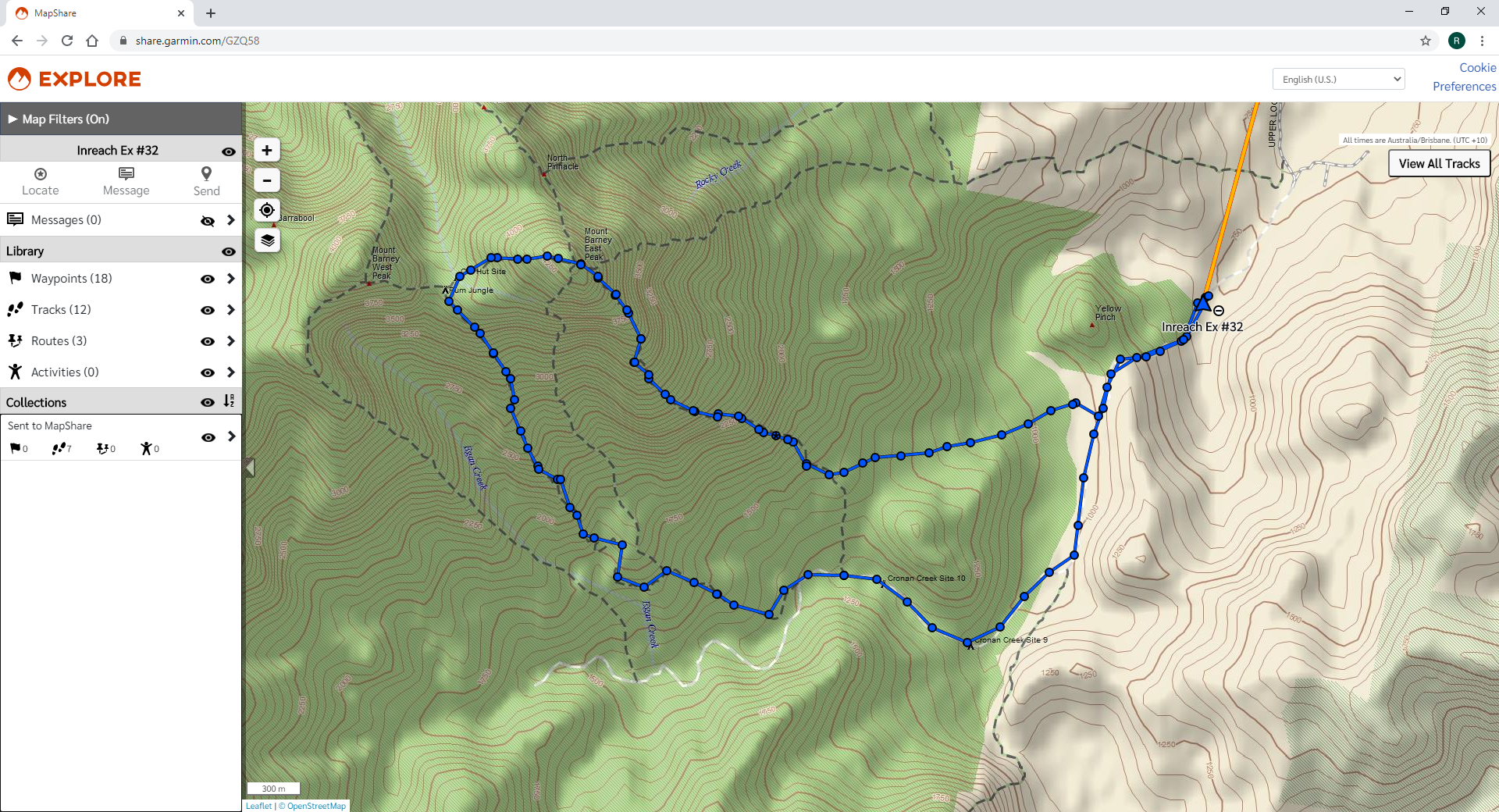
I started up the tracking and sent out a message with Garmin’s Mapshare site so people could follow my trip progress live.
Here’s what you would have seen if you were following along live.
It started out flat, but quickly got very steep!
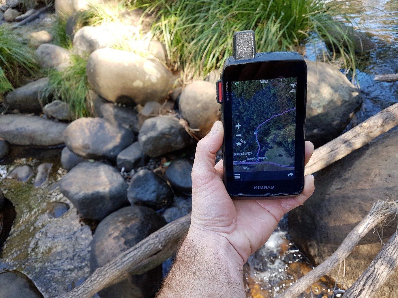
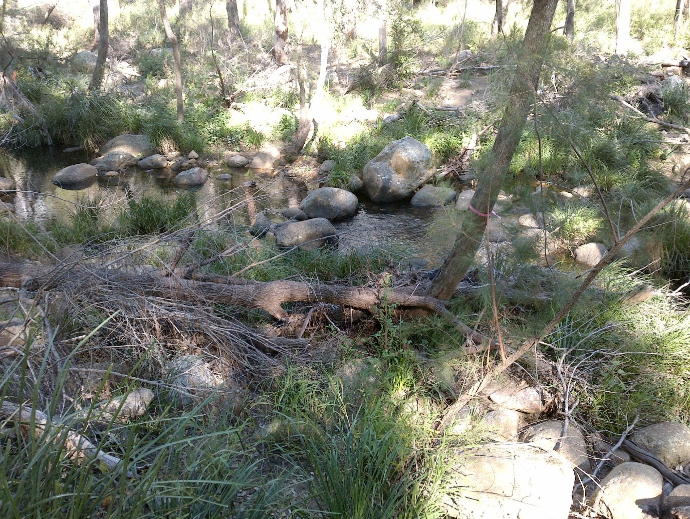
I “accidentally” dropped it in the creek. Looks like it is waterproof after all.
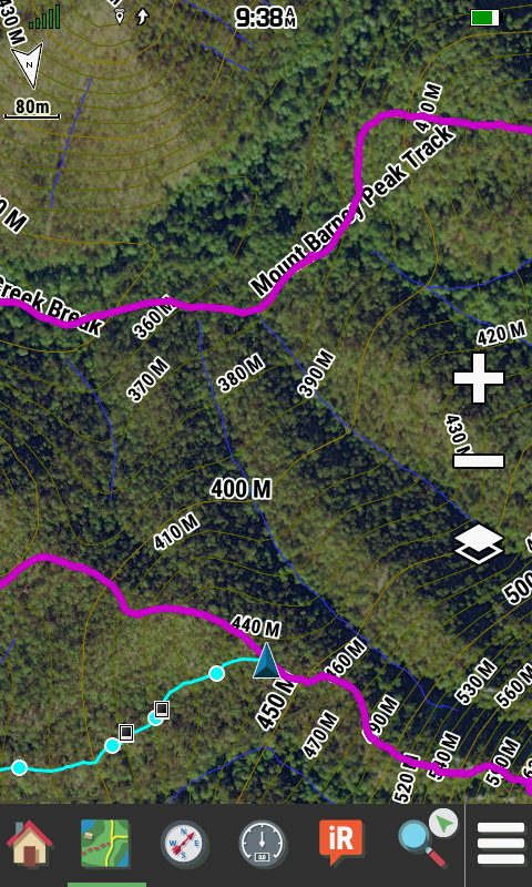
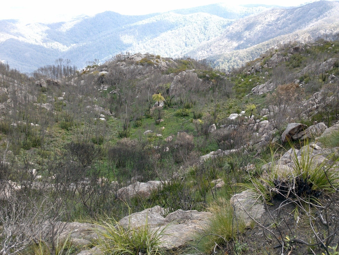
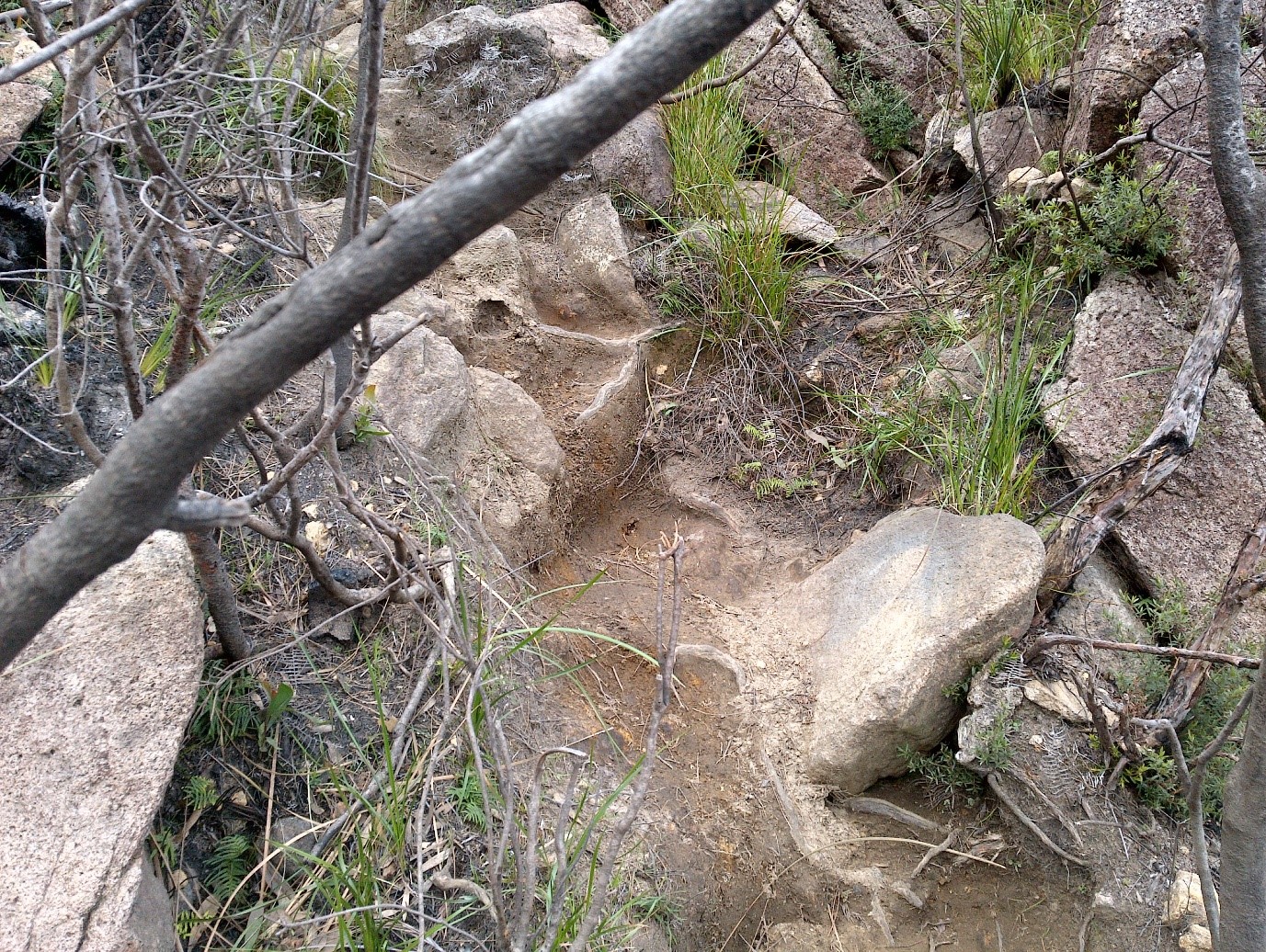
I went up the South-East ridge and came down the South ridge. The pre-loaded topographical maps are pretty good, and I also put on the Birdseye satellite imagery of the area, which had great detail. You could easily pick out the individual ridges. I had not been up this way before, so I had loaded up a. GPX track file I had downloaded of someone who had done the same walk before. There are heaps of great sites to download these tracks, just search for where you want to go and “GPX”. Mount Barney GPX gave some good results, as there are a number of different paths up the mountain. It looks like the track has changed a little bit after the 2019 bushfires. I had to refer to the GPS map a few times when the trail ran out or I wasn’t sure which way to go.
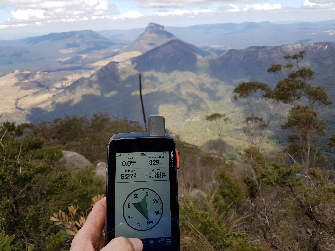
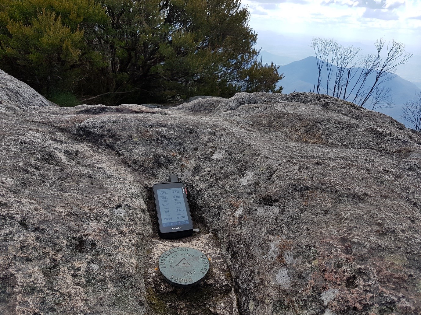
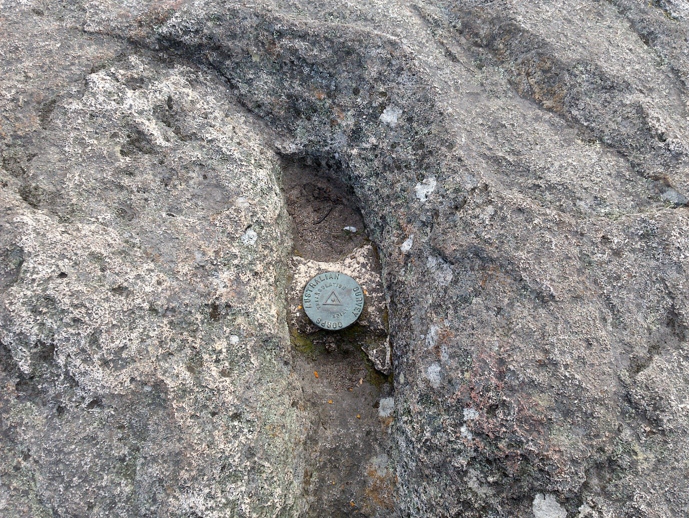
Accuracy seems good, less than 3 meters at this point if my maths is right. It’s not a survey point, so not sure how accurate the marker is.
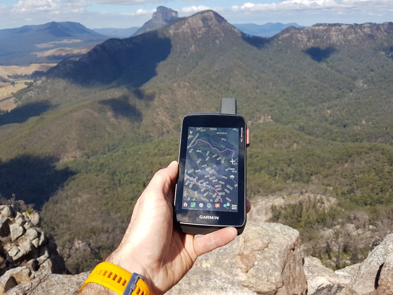
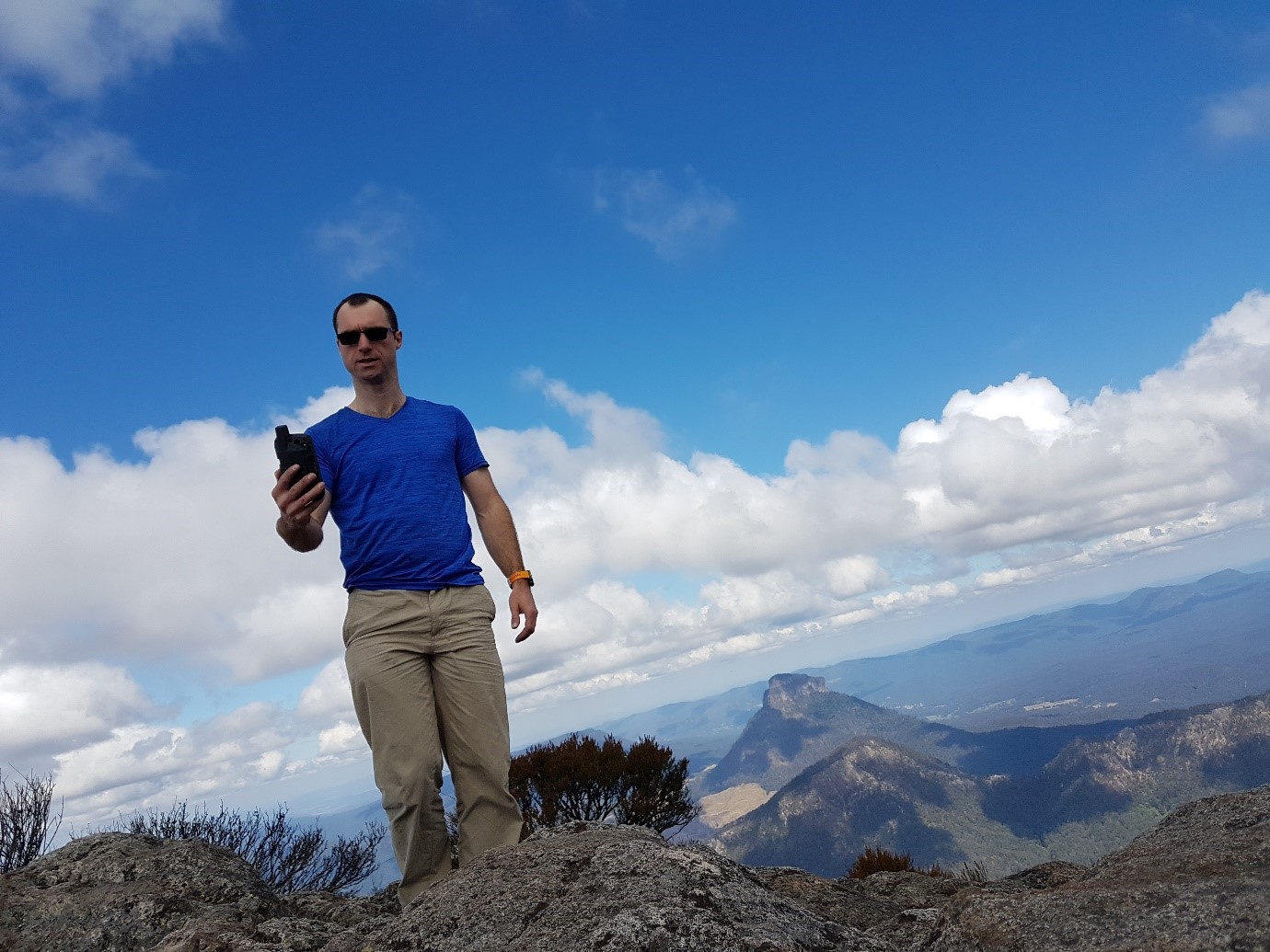
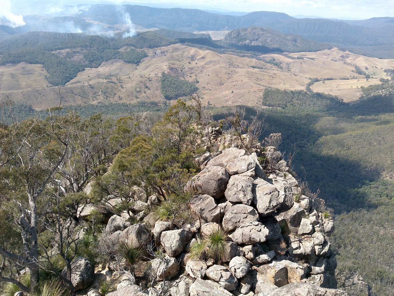
Finally got to the summit. There was a bit of smoke in the air, but the views were still amazing. The camera on the 750i got a good workout.
We tested out the speed of inReach messaging. With a good view of the sky the messages got through right away. Tree cover on the way to the summit resulted in delayed messages.